The second week back of semester and it was time to get some walks going for all our new members! I decided to do something a little bit unusual and off the beaten track! Get all the exchange students to a part of Tasmania they never would have heard of! So I decided Mt Bowes in South-West National Park....in my opinion the most superb part of Tasmania and one of its best kept secrets!
Approximately 17 of us ended up going and I enjoyed getting to know some of the clubs newest members in the 2 hour drive to the start of the walk. We headed along the Gordon River Road and turned left onto Scots Peak Rd and then parked our cars at the first left hand turn just before a locked yellow boom gate.
We walked along the road for 10 minutes or so until we came across the cairn indicating the start of the walk.
 |
| Walking along the road to the start of the track |
 |
| Initial Scrub |
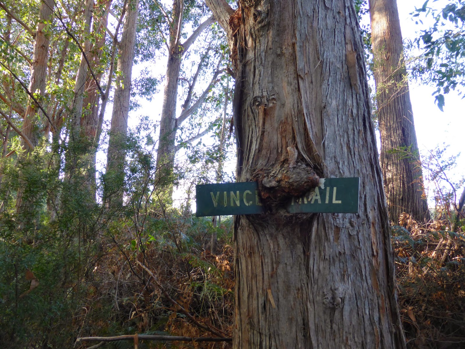
 |
| The forest |
 |
| Through the forest and over the creek! |
 |
| Summit group shot |
 |
| View from the top!
We retraced our steps back to the cars and managed to walk much faster on the way back! The walk was longer than I had anticipated but that was probably due to the size of the party. The track was easy enough to follow but you spend most of your time in the forest so it can be hard to try and work out where you are.
Grade: Medium Map: Wedge or Bowes Time: 6 - 7 hours. |